Digital collections

Image
Download ( 1.23 MB )Permalink
https://noaa.dev.woc.noaa.gov/media/digital-collections-photo/pl23line5068jpgDescription
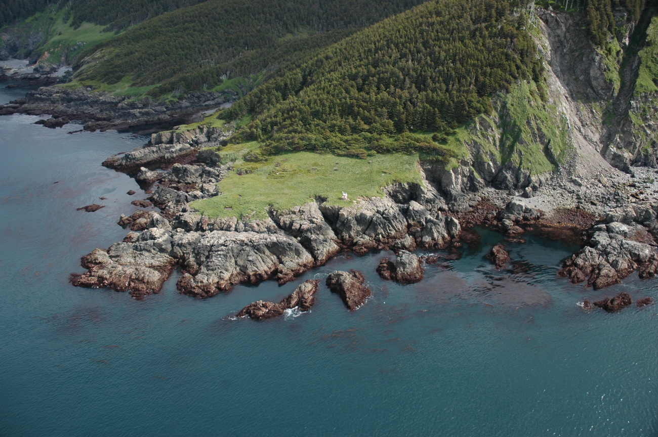
Aerial photograph. The navigation light at the SW tip of Elizabeth Island whichmarks the SE end of Cook Inlet and SW tip of the Kenai Peninsula. (Image credit: Alaska ShoreZone Program NOAA/NMFS/AKFSC; Courtesy of Mandy Lindeberg, NOAA/NMFS/AKFSC)
Credit
Alaska ShoreZone Program NOAA/NMFS/AKFSC; Courtesy of Mandy Lindeberg, NOAA/NMFS/AKFSC
Location
Alaska, Lower Cook Inlet, Kenai Peninsula
Category
America's Coastlines


