Digital collections

Image
Download ( 4.57 MB )Permalink
https://noaa.dev.woc.noaa.gov/media/digital-collections-photo/pl23line5242jpgDescription
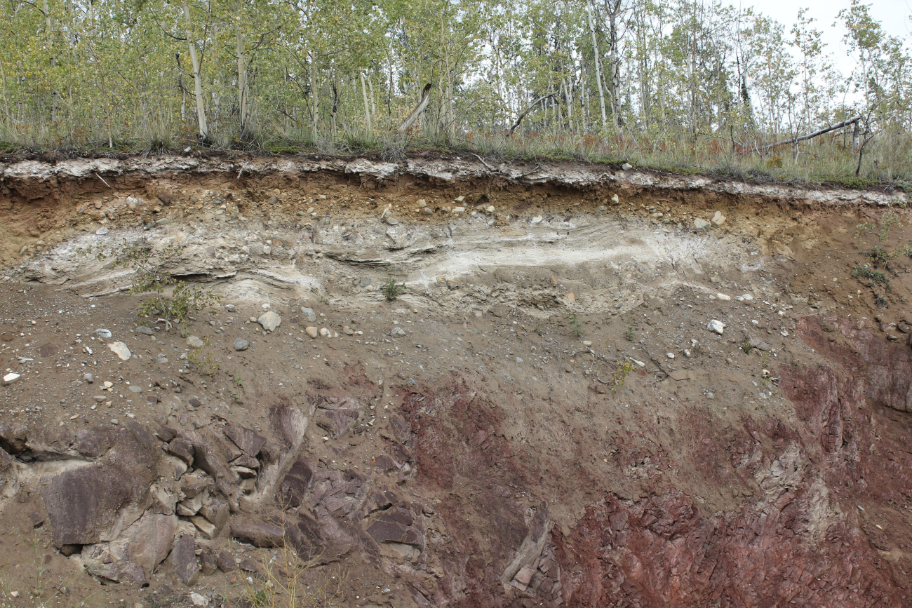
White volcanic ash layer which marks major volcanic eruption. This layer isknown as the White River Ash and was formed from a super eruption of MountChurchill in about 650 A.D. Mount Churchill is located close to Mt. St. Elias. (Image credit: Dr. John Cloud)
Photographer
Dr. John Cloud
Display Date
2010 September
Location
Canada, Yukon Territory
Category
America's Coastlines
NOAA Affiliation
NOAA Central Library


