Digital collections

Image
Download ( 1.37 MB )Permalink
https://noaa.dev.woc.noaa.gov/media/digital-collections-photo/pl23line5490jpgDescription
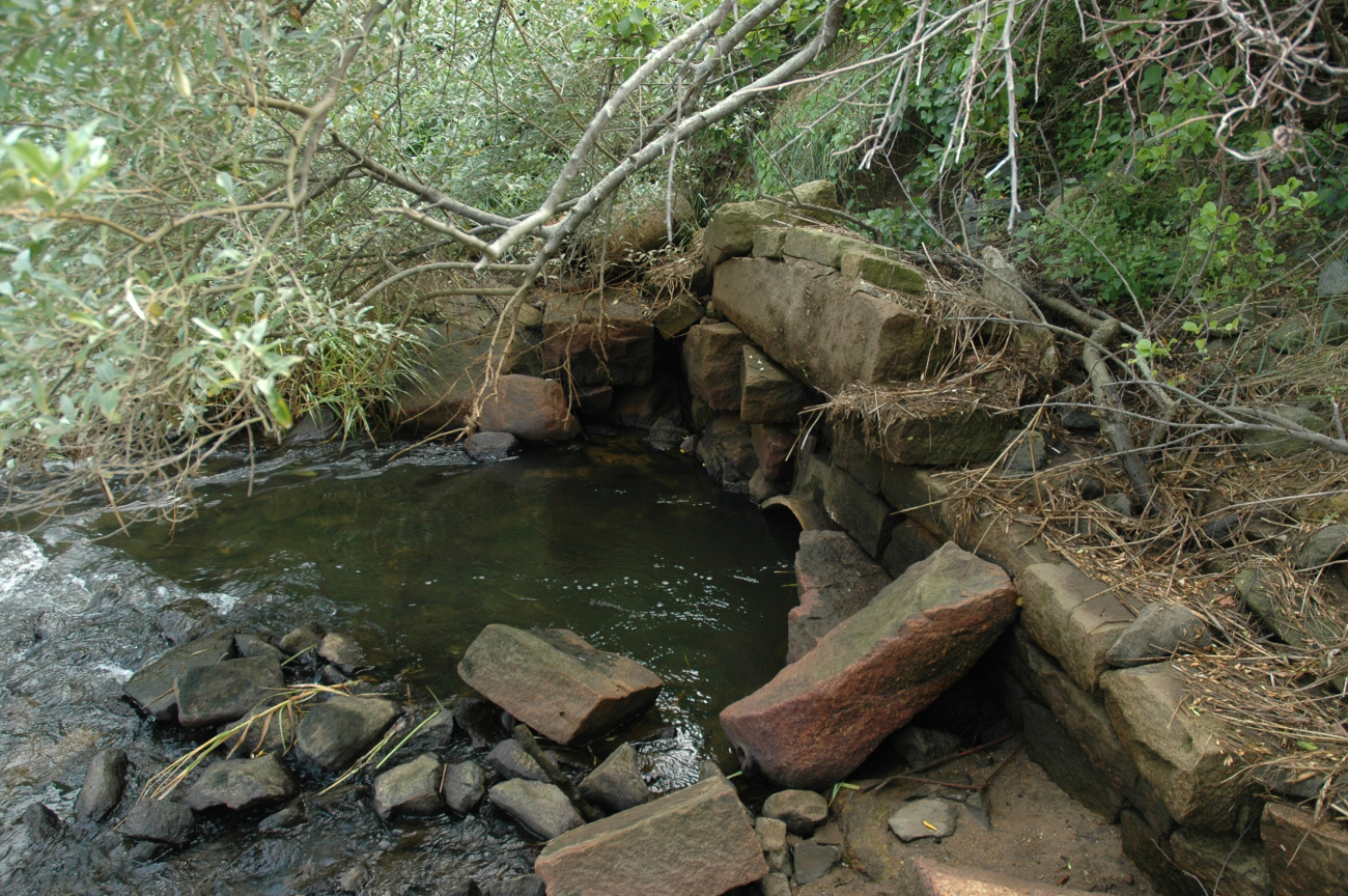
This aging, undersized culvert that conveyed Stony Brook under Route 6Arestricted the tidal flow to the salt marsh and presented an obstacle for fishmigrating to their freshwater spawning grounds. (Image credit: NOAA News 042511)
Credit
NOAA News 042511
Location
Massachusetts, Cape Cod
Category
America's Coastlines


