Digital collections

Image
Download ( 401 KB )Permalink
https://noaa.dev.woc.noaa.gov/media/digital-collections-photo/pl23line1243jpgDescription
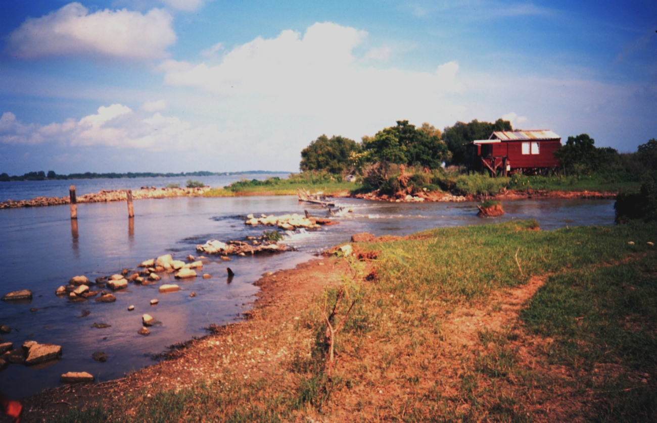
Mississippi River levee with river water coming through and flowing to a marsheast of the river. Flooding usually occurs every spring. (Image credit: Dr. Terry McTigue)
Photographer
Dr. Terry McTigue
Display Date
1994 June 15
Location
Louisiana, Grand Bay
Category
America's Coastlines
Gulf Coast
NOAA Affiliation
NOAA
Keywords
Coastline
Gulf Coast Louisiana


