  • Home
  • Weather
  • Climate
  • Ocean & Coasts
  • Fisheries
  • Satellites
  • Research
  • Marine & Aviation
  • Charting
  • Sanctuaries
  • Education
  • News and features
  • Tools & resources
  • About our agency
U.S. flag

An official website of the United States government

Here’s how you know

Dot gov

Official websites use .gov
A .gov website belongs to an official government organization in the United States.

HTTPS

Secure .gov websites use HTTPS
A lock (LockA locked padlock) or https:// means you’ve safely connected to the .gov website. Share sensitive information only on official, secure websites.

Find your local weather
Change location:
  • News
  • Tools
  • About
 
 
NOAA mobile logo
NOAA logo National Oceanic and Atmospheric Administration U.S. Department of Commerce


Breadcrumb

  1. Home
  2. Digital Collections
  3. Collections
  4. America's Coastlines
  • Digital Collections
  • Collections
  • Search

Aleutians

Sub Categories

Shoreline of Adak Island
General
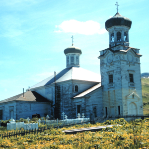
The Russian Orthodox Church at Unalaska
West to East

Items

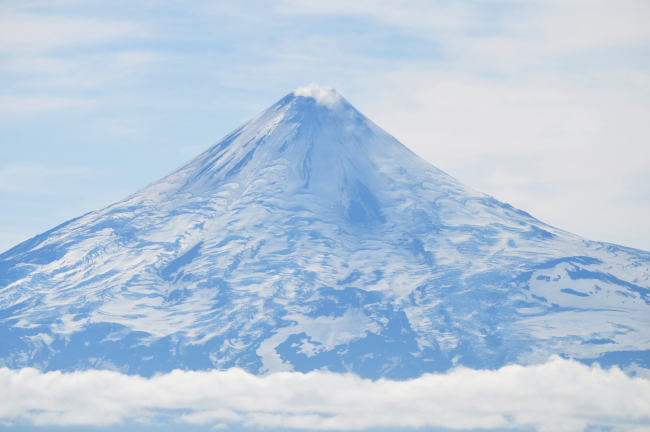
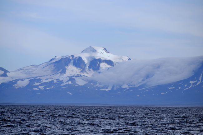
A telescopic view of Shishaldin Volcano showing that it is indeed an activevolcano with steam and gases discharging from the summit caldera

A telescopic view of Shishaldin Volcano showing that it is indeed...

Details
Download ( 4.33 MB )
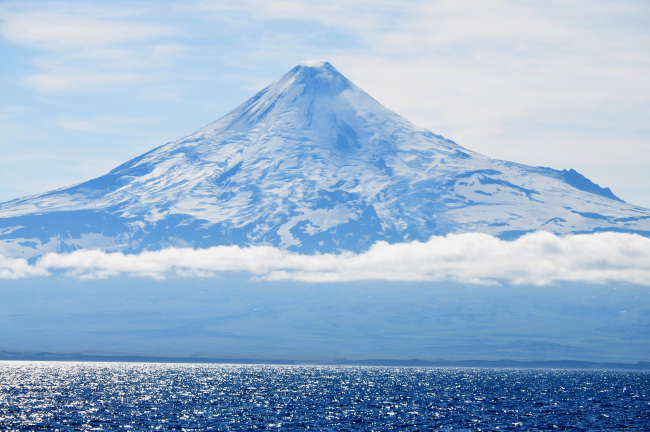
A telescopic view of Shishaldin Volcano from the Bering Sea

A telescopic view of Shishaldin Volcano from the Bering Sea.

Details
Download ( 6.01 MB )
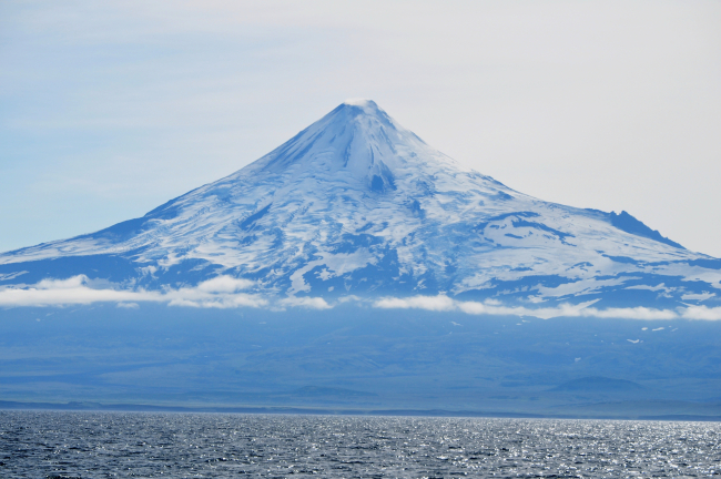
A telescopic view of Shishaldin Volcano from the Bering Sea

A telescopic view of Shishaldin Volcano from the Bering Sea.

Details
Download ( 5.26 MB )
Roundtop is the high mountain on the left, the next is an unnamed peakdesignated Unimak 5270 by the Alaska Volcano Observatory, and Isanotski,locally known as Ragged Jack is on the right

Roundtop is the high mountain on the left, the next is an unnamed...

Details
Download ( 6.13 MB )
Roundtop seen from the Bering Sea

Roundtop seen from the Bering Sea.

Details
Download ( 5.05 MB )
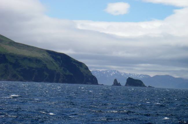
Aleutian Island scenery

Aleutian Island scenery. Somewhere near 54 18 N 165 8 N.

Details
Download ( 2.89 MB )
Aleutian Island scenery

Aleutian Island scenery. Somewhere near 54 18 N 165 8 N.

Details
Download ( 2.62 MB )
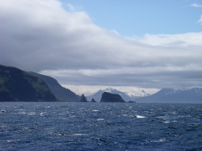
Aleutian Island scenery

Aleutian Island scenery. Somewhere near 54 18 N 165 8 N.

Details
Download ( 2.32 MB )
  • Go to first pageFirst
  • Go to previous pagePrevious
  • Page 1
  • Currently on page 2
  • Page 3
  • Page 4
  • Page 5
  • Page 6
  • Page 7
  • Page 8
  • Page 9
  • …
  • Go to next pageNext
  • Go to last pageLast
NOAA Home
Science. Service. Stewardship.
  • News
  • Tools
  • About
  • Resources for Tribal & Indigenous Communities
  • Bipartisan Infrastructure Law (BIL)
  • Inflation Reduction Act (IRA)
  • Protecting Your Privacy
  • FOIA
  • Information Quality
  • Accessibility
  • Guidance
  • Budget & Performance
  • Disclaimer
  • EEO
  • No-Fear Act
  • USA.gov
  • Ready.gov
  • Employee Check-In
  • Staff Directory
  • Contact Us
  • Need Help?
  • COVID-19 hub for NOAA personnel offsite link
  • Vote.gov
Stay connected to NOAA
NOAA on Twitter NOAA on Facebook NOAA on Instagram NOAA on YouTube
Back to top