• Home
  • Weather
  • Climate
  • Ocean & Coasts
  • Fisheries
  • Satellites
  • Research
  • Marine & Aviation
  • Charting
  • Sanctuaries
  • Education
  • News and features
  • Tools & resources
  • About our agency
U.S. flag

An official website of the United States government

Here’s how you know

Dot gov

Official websites use .gov
A .gov website belongs to an official government organization in the United States.

HTTPS

Secure .gov websites use HTTPS
A lock (LockA locked padlock) or https:// means you’ve safely connected to the .gov website. Share sensitive information only on official, secure websites.

Find your local weather
Change location:
  • News
  • Tools
  • About
 
 
NOAA mobile logo
NOAA logo National Oceanic and Atmospheric Administration U.S. Department of Commerce


Breadcrumb

  1. Home
  2. Digital Collections
  3. Collections
  4. America's Coastlines
  • Digital Collections
  • Collections
  • Search

Historical Coastal Views

Items

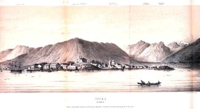
View of Sitka Harbor in:  Coast Pilot of Alaska, (First Part,)

View of Sitka Harbor in: Coast Pilot of Alaska, (First Part,)...

Details
Download ( 703 KB )
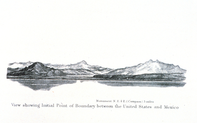
The boundary monument between the United States and Mexico just south of SanDiego

The boundary monument between the United States and Mexico just...

Details
Download ( 960 KB )
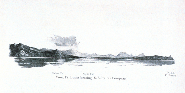
A view of Point Loma with the Point Loma lighthouse seen to the right

A view of Point Loma with the Point Loma lighthouse seen to the...

Details
Download ( 986 KB )
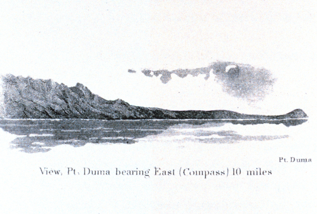
A view of Point Duma, today known as Point Dume, just to the east of Malibu

A view of Point Duma, today known as Point Dume, just to the east...

Details
Download ( 1.57 MB )
A view of San Pedro to the right and the highlands of Palos Verdes on the left

A view of San Pedro to the right and the highlands of Palos...

Details
Download ( 1.21 MB )
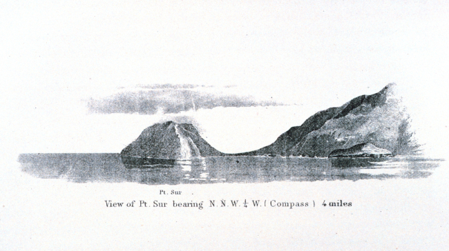
Point Sur along the Big Sur coastline about 25 miles south of Monterey

Point Sur along the Big Sur coastline about 25 miles south of...

Details
Download ( 1.17 MB )
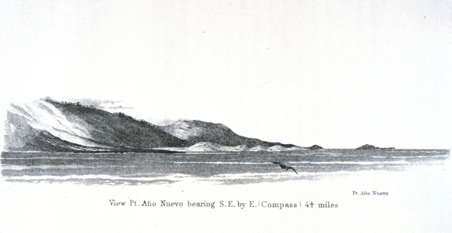
Point Ano Nuevo and Ano Nuevo Island as seen from offshore

Point Ano Nuevo and Ano Nuevo Island as seen from offshore. This...

Details
Download ( 961 KB )
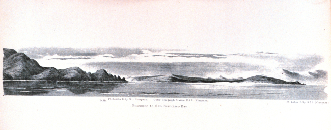
The entrance to San Francisco Bay

The entrance to San Francisco Bay.In: Pacific Coast. Coast Pilot...

Details
Download ( 839 KB )
  • Go to first pageFirst
  • Go to previous pagePrevious
  • …
  • Page 5
  • Page 6
  • Page 7
  • Page 8
  • Currently on page 9
  • Page 10
  • Page 11
  • Page 12
  • Page 13
  • …
  • Go to next pageNext
  • Go to last pageLast
NOAA Home
Science. Service. Stewardship.
  • News
  • Tools
  • About
  • Resources for Tribal & Indigenous Communities
  • Bipartisan Infrastructure Law (BIL)
  • Inflation Reduction Act (IRA)
  • Protecting Your Privacy
  • FOIA
  • Information Quality
  • Accessibility
  • Guidance
  • Budget & Performance
  • Disclaimer
  • EEO
  • No-Fear Act
  • USA.gov
  • Ready.gov
  • Employee Check-In
  • Staff Directory
  • Contact Us
  • Need Help?
  • COVID-19 hub for NOAA personnel offsite link
  • Vote.gov
Stay connected to NOAA
NOAA on Twitter NOAA on Facebook NOAA on Instagram NOAA on YouTube
Back to top