  • Home
  • Weather
  • Climate
  • Ocean & Coasts
  • Fisheries
  • Satellites
  • Research
  • Marine & Aviation
  • Charting
  • Sanctuaries
  • Education
  • News and features
  • Tools & resources
  • About our agency
U.S. flag

An official website of the United States government

Here’s how you know

Dot gov

Official websites use .gov
A .gov website belongs to an official government organization in the United States.

HTTPS

Secure .gov websites use HTTPS
A lock (LockA locked padlock) or https:// means you’ve safely connected to the .gov website. Share sensitive information only on official, secure websites.

Find your local weather
Change location:
  • News
  • Tools
  • About
 
 
NOAA mobile logo
NOAA logo National Oceanic and Atmospheric Administration U.S. Department of Commerce


Breadcrumb

  1. Home
  2. Digital Collections
  3. Collections
  4. America's Coastlines
  • Digital Collections
  • Collections
  • Search

Chesapeake Bay

The United States' largest estuary, a drowned valley of the Susquehanna River. The Chesapeake Bay is a grand highway - a highway for migratory fish and fowl, a highway for transportation and commerce, and a highway of our Nation's history. It is also home to indigenous marine species, watermen, farmers, military, and folks who love the quiet beauty of the Bay.

Sub Categories

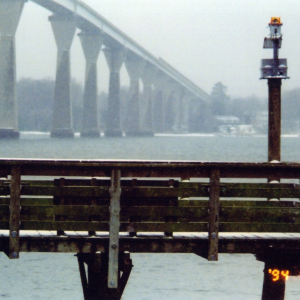
Pepper Langley Fishing Pier at Solomons Island
Bay Scenes
Female blue crab (Callinectes sapidus) on beach
Beautiful Swimmer - The Blue Crab
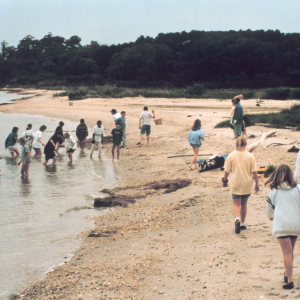
A middle school field trip at Camp Riverview
Conserving and Learning
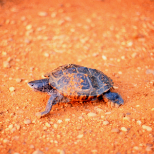
A female Diamondback terrapin, Malaclemys terrapin, puts the final touches onher freshly laid nest of eggs
Critters
NWS employee Sarah Roy faces an onslaught of cabin cruisers and an impendingstorm as she nears the end of a 25-mile trek down the Patuxent River
Fun and Suns
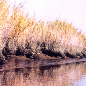
Erosion along a Patuxent River marsh area has created a series of arches
Problems
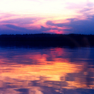
A Patuxent River sunset
Sunrise and Sunset on the Bay
Arrow arum (the broadleaf plant) and saltmarsh cordgrass (spartina alternaflora)
Wetlands

Items

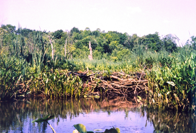
Beaver dam at Black Swamp Creek, a tributary of the Patuxent River

Beaver dam at Black Swamp Creek, a tributary of the Patuxent...

Details
Download ( 1.77 MB )
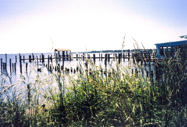
Piers, looking down river from Benedict

Piers, looking down river from Benedict.

Details
Download ( 1.61 MB )
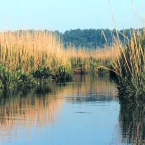
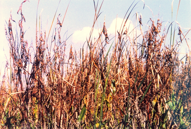
Unidentified grass type

Unidentified grass type. Wild rice?

Details
Download ( 1.73 MB )
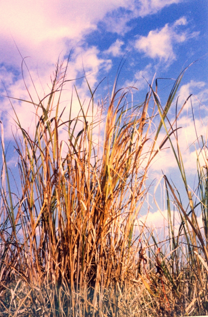
Unidentified vegetation

Unidentified vegetation.

Details
Download ( 1.97 MB )
A Patuxent River marsh in the fall

A Patuxent River marsh in the fall.

Details
Download ( 1.76 MB )
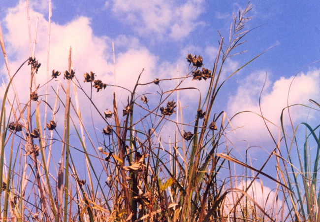
Marsh hibiscus seed pods

Marsh hibiscus seed pods. Also known as Eastern Rose Mallow...

Details
Download ( 1.68 MB )
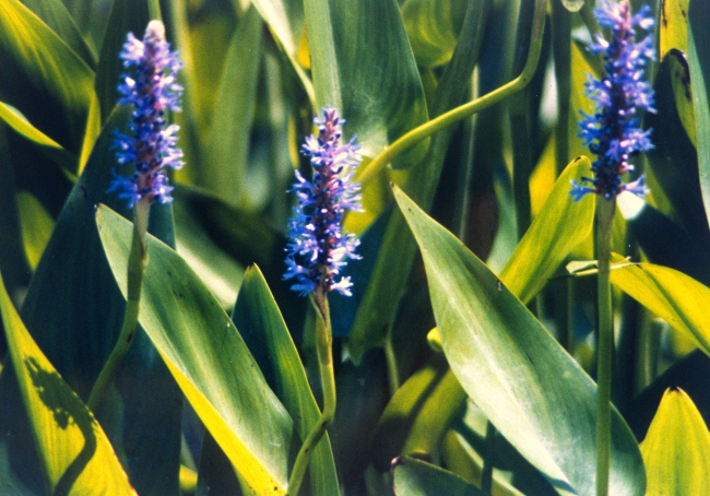
Flowers of the pickerel weed (Pontederia cordata

Flowers of the pickerel weed (Pontederia cordata.)

Details
Download ( 1.77 MB )
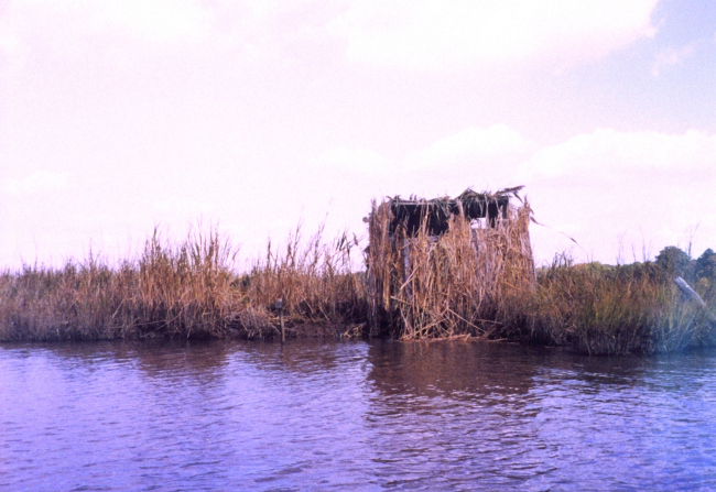
Duck blind

Duck blind.

Details
Download ( 1.46 MB )
  • Go to first pageFirst
  • Go to previous pagePrevious
  • …
  • Page 50
  • Page 51
  • Page 52
  • Page 53
  • Currently on page 54
  • Page 55
  • Page 56
  • Page 57
  • Page 58
  • …
  • Go to next pageNext
  • Go to last pageLast
NOAA Home
Science. Service. Stewardship.
  • News
  • Tools
  • About
  • Resources for Tribal & Indigenous Communities
  • Bipartisan Infrastructure Law (BIL)
  • Inflation Reduction Act (IRA)
  • Protecting Your Privacy
  • FOIA
  • Information Quality
  • Accessibility
  • Guidance
  • Budget & Performance
  • Disclaimer
  • EEO
  • No-Fear Act
  • USA.gov
  • Ready.gov
  • Employee Check-In
  • Staff Directory
  • Contact Us
  • Need Help?
  • COVID-19 hub for NOAA personnel offsite link
  • Vote.gov
Stay connected to NOAA
NOAA on Twitter NOAA on Facebook NOAA on Instagram NOAA on YouTube
Back to top