• Home
  • Weather
  • Climate
  • Ocean & Coasts
  • Fisheries
  • Satellites
  • Research
  • Marine & Aviation
  • Charting
  • Sanctuaries
  • Education
  • News and features
  • Tools & resources
  • About our agency
U.S. flag

An official website of the United States government

Here’s how you know

Dot gov

Official websites use .gov
A .gov website belongs to an official government organization in the United States.

HTTPS

Secure .gov websites use HTTPS
A lock (LockA locked padlock) or https:// means you’ve safely connected to the .gov website. Share sensitive information only on official, secure websites.

Find your local weather
Change location:
  • News
  • Tools
  • About
 
 
NOAA mobile logo
NOAA logo National Oceanic and Atmospheric Administration U.S. Department of Commerce


Breadcrumb

  1. Home
  2. Digital Collections
  3. Collections
  4. America's Coastlines
  5. Chesapeake Bay
  • Digital Collections
  • Collections
  • Search

Bay Scenes

Items

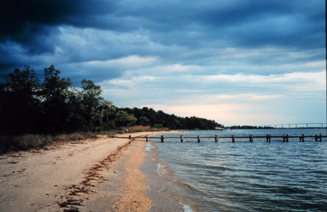
A spring storm brewing near the mouth of the Patuxent River

A spring storm brewing near the mouth of the Patuxent River

Details
Download ( 1.42 MB )
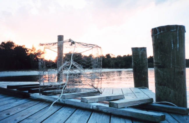
Crab pot on the dock at the end of the day

Crab pot on the dock at the end of the day

Details
Download ( 1.15 MB )
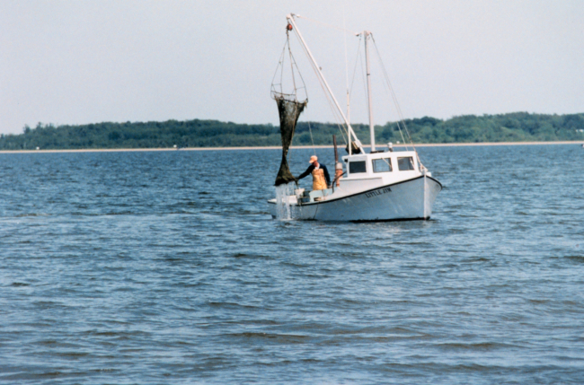
Clam dredging - although maintaining the tradition of the Chesapeake waterman, this harvesting method further stresses submerged aquatic vegetation

Clam dredging - although maintaining the tradition of the...

Details
Download ( 1.34 MB )
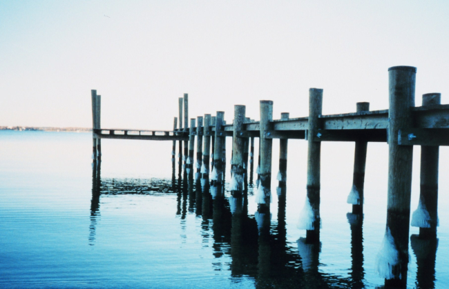
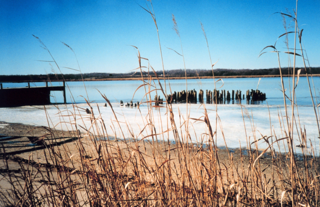
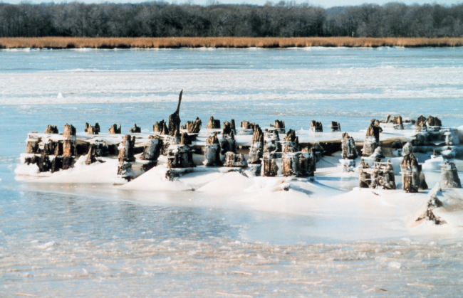
Ice marks the high tide line on these pier pilings

Ice marks the high tide line on these pier pilings.

Details
Download ( 261 KB )
Ice along the shore at the old steamboat landing at Holland Cliffs Shores

Ice along the shore at the old steamboat landing at Holland...

Details
Download ( 1.55 MB )
Ice at old steamboat landing and covering the river at Holland Cliffs Shores

Ice at old steamboat landing and covering the river at Holland...

Details
Download ( 1.38 MB )
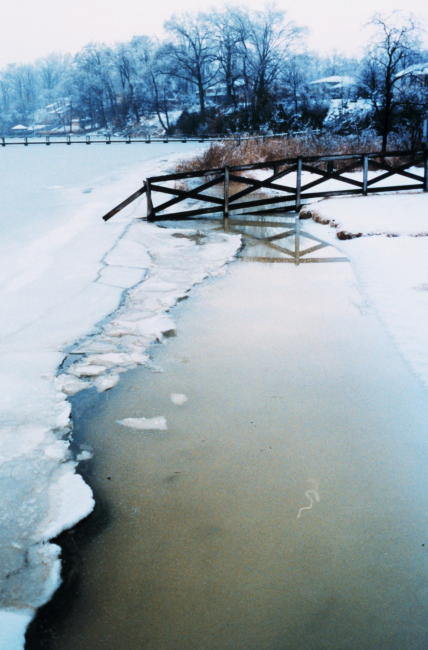
Open water between the high and low tide lines at Holland Cliffs Shores

Open water between the high and low tide lines at Holland Cliffs...

Details
Download ( 412 KB )
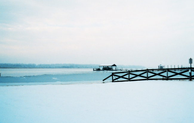
A wintry vista along a frozen snow-covered Patuxent River

A wintry vista along a frozen snow-covered Patuxent River

Details
Download ( 243 KB )
  • Go to first pageFirst
  • Go to previous pagePrevious
  • …
  • Page 6
  • Page 7
  • Page 8
  • Page 9
  • Currently on page 10
  • Page 11
  • Page 12
  • Page 13
  • Page 14
  • Go to next pageNext
  • Go to last pageLast
NOAA Home
Science. Service. Stewardship.
  • News
  • Tools
  • About
  • Resources for Tribal & Indigenous Communities
  • Bipartisan Infrastructure Law (BIL)
  • Inflation Reduction Act (IRA)
  • Protecting Your Privacy
  • FOIA
  • Information Quality
  • Accessibility
  • Guidance
  • Budget & Performance
  • Disclaimer
  • EEO
  • No-Fear Act
  • USA.gov
  • Ready.gov
  • Employee Check-In
  • Staff Directory
  • Contact Us
  • Need Help?
  • COVID-19 hub for NOAA personnel offsite link
  • Vote.gov
Stay connected to NOAA
NOAA on Twitter NOAA on Facebook NOAA on Instagram NOAA on YouTube
Back to top