pl23_line2071.jpg

Image
Download ( 1.08 MB )Permalink
https://noaa.dev.woc.noaa.gov/media/digital-collections-photo/pl23line2071jpgDescription
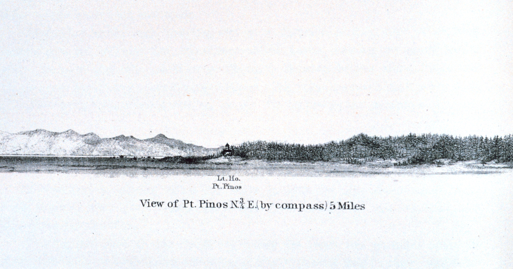
Point Pinos and the Point Pinos Lighthouse as seen from offshore. This is atthe southern extent of Monterey Bay.In: Pacific Coast. Coast Pilot of California, Oregon, and Washington Territory. By George Davidson, 1869. P. 45. Library Call Number VK947.D4 1869.
Photographer
Archival photograph by Mr. Steve Nicklas
Location
California, Point Pinos, Monterey Peninsula
Category
America's Coastlines
Lighthouses
Historic
NOAA Affiliation
NGS
RSD
Keywords
Coastline
West Coast California
Historical


